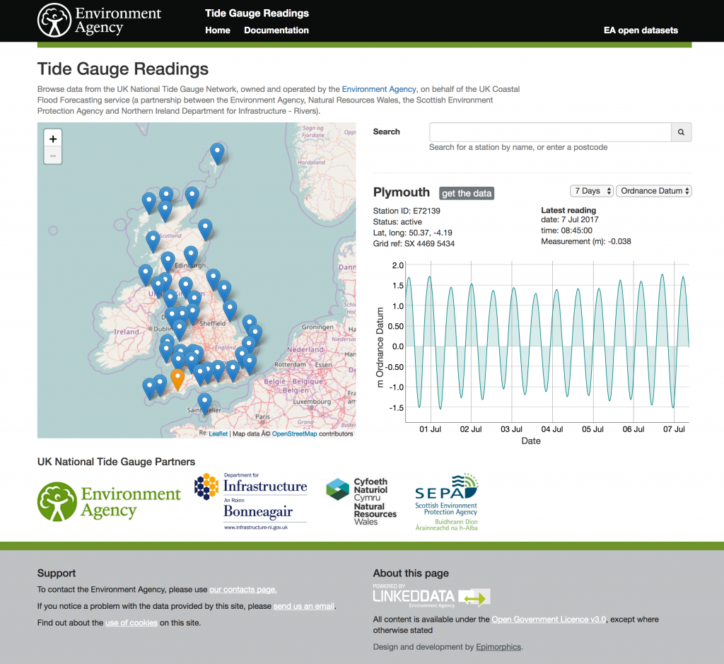
This publishes from the UK National Tide Gauge Network, owned and operated by the Environment Agency, on behalf of the UK Coastal Flood Forecasting service (a partnership between the Environment Agency, Natural Resources Wales, the Scottish Environment Protection Agency and Northern Ireland Department for Infrastructure – Rivers). It records tidal elevations at 44 locations around the UK coast. The data is available in near real time with measurements reported every 15 mins.

These add to a rich set of river and costal datasets.
Browse data from the UK National Tide Gauge Network here

